
 Webcam
 Search in the site
History and art
Mountain villages are the keepers of small jewels of history, architecture, and culture

Mountain villages are the keepers of small jewels of history, architecture, and culture

La Valfurva si apre a oriente della conca di Bormio e si addentra per circa 25 km nel gruppo alpino dell’Ortles-Cevedale, un grandioso anfiteatro di vette, tutte oltre i 3.500 m s.l.m., che dal Tresero al Cevedale racchiude il più esteso ghiacciaio delle Alpi italiane, il ghiacciaio dei Forni.
It’s the winter and summer resort. While maintaining its activities related to mountain agriculture and farming, it started dealing with tourism from the second half of 19th century, especially for what mountaineering and health treatments is concerned (thanks to its ferruginous waters). The ancient toponym “Magliavaca” probably reminds of the dangers of once marshy lands and was used for many centuries.
The new name S. Caterina started to be mentioned between 17th and 18th centuries, probably when the parish Baldassarre Bellotti “miraculously discovered” ferruginous water sources. In 19th century the Grand Hotel S. Caterina became a comfortable base for British and German mountaineers who climbed the fascinating mountains around Valfurva, as well as being a comfortable and fine home for the European elite who chose treatments based on the famous ferruginous healing waters. Tourism was at the beginning of its history and has now become the main economic sector of the entire valley, making of Santa Caterina a true excellent winter and summer destination.
 Read less
Going up the valley, Uzza is the first town after Bormio. The name seems to come from a pointed shape, a conoid where the small town is located. Its origins are very ancient: traces of the small church date back to the 8th century AD and the town was certainly built along the communication route between Bormio, Val Camonica and Trentino. The sunniest area is Teregua, a town built “between waters”, e.g. between two streams.
Read less
Where the town hall is: this is where you can take the road leading to Madonna dei Monti and Val Zebrù, the most famous valley for trips in the Stelvio National Park as well as Val Cedèc, Valle dei Forni and Valle del Gavia, the valleys around Valfurva, with peaks over 3,000 m asl. Main services such as pharmacy, bank, newsagent and stores can be found along the road connecting S. Nicolò and S. Antonio.
Read less
These are small towns along the sunny slopes of Reit, before entering Valle Zebrù. They were probably created when families from the valley gradually made their stay in the alpine pastures a stable one.
Read less
Ancient name: Furva or Furvaplana, hence the current name Valfurva: home of the schools, the library, the ethnographic museum and the Stelvio National Park visitor centre.
Read less
The Testorelli Museum and the Stelvio National Park visitor centre feature evidence of all the long and interesting history of Valfurva. The buildings around them are the Valfurva cultural centre. They can be visited all year round and organise many workshops and activities for families.
Read less

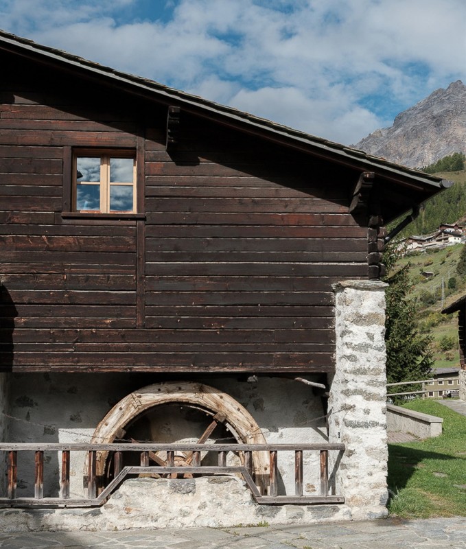
S. Caterina Valfurva anticamente si chiamava Magliavaca a causa dell’ampio pianoro paludoso e ricco di acque che caratterizzava la confluenza da due importanti torrenti il Frodolfo e il Gavia. Tra queste acque vi era anche una sorgente di acqua ferruginosa potabile e tra le più ricche di minerali che la rendeva molto acidula e frizzantina tanto da attirare l’attenzione di medici ed estimatori.
Dalla fine del '700 Magliavaca diventò S. Caterina proprio in onore delle proprietà curative dell'"Acua Forta" e nell'800 si sviluppò una fiorente economia legata alla presenza di questa benefica sorgente. Oggi vogliamo ricordare e celebrare le acque "miracolose" e potabili di S. Caterina e delle tante sorgenti che sgorgano in ruscelli e fontane della Valfurva grazie ad una piccola mostra fotografica allestita all’interno della Acquateca di Santa Caterina.
Il caratteristico edificio a forma ottagonale accessibile da Via Magliaga – zona La Fonte è aperto a cura della Proloco e offre un breve excursus della storia e della fama dell’acqua ferruginosa di S. Caterina e presenta all’interno una fontana di acqua potabile.
Read less
 Contacts