
 Webcam
 Search in the site
Winter Hiking
Chi ama la montagna in tutte le sue forme non può non innamorarsi del paesaggio incantato che caratterizza l’inverno di Santa Caterina Valfurva

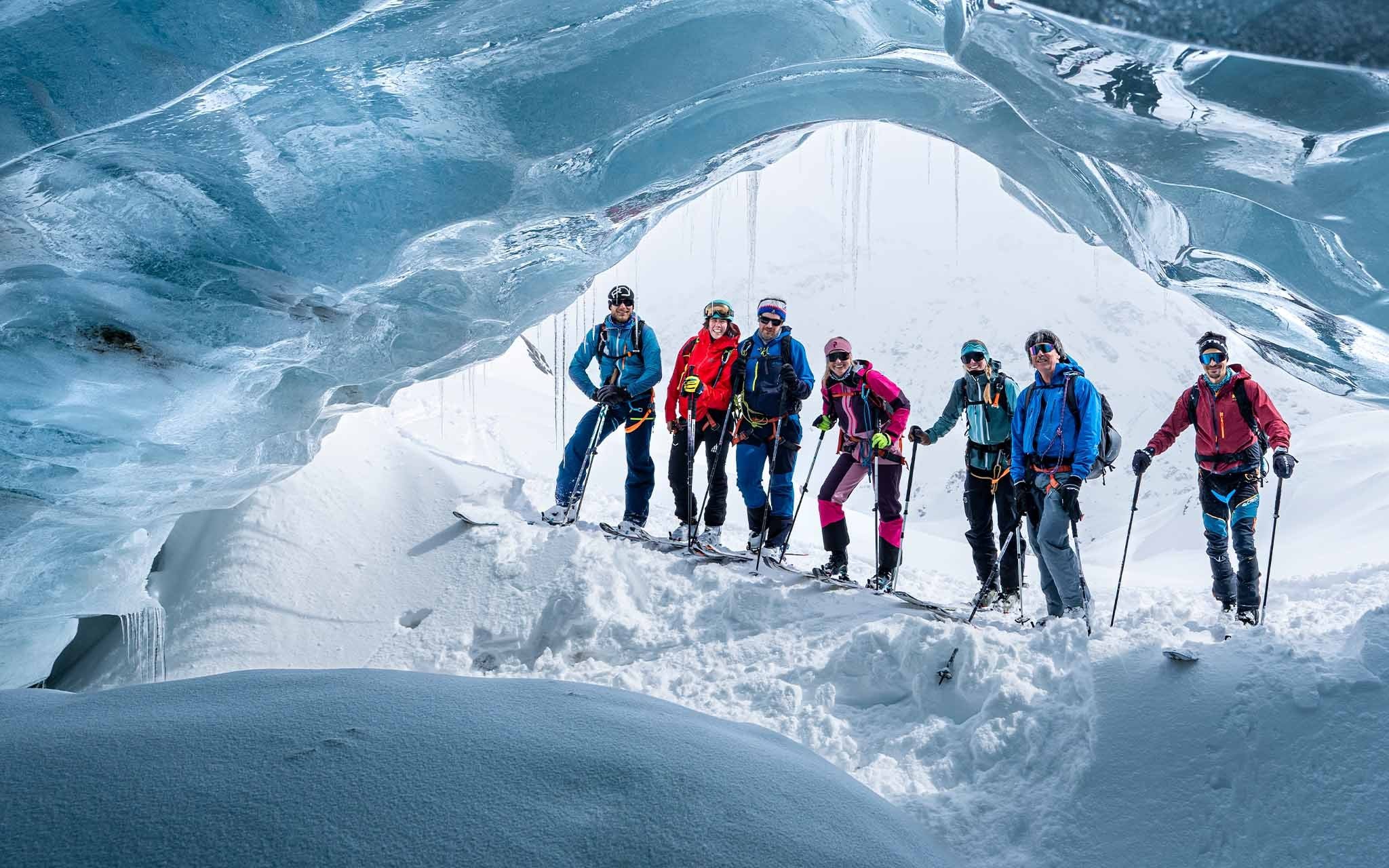
Chi ama la montagna in tutte le sue forme non può non innamorarsi del paesaggio incantato che caratterizza l’inverno di Santa Caterina Valfurva

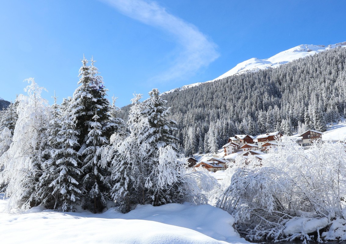
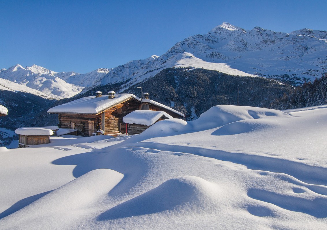
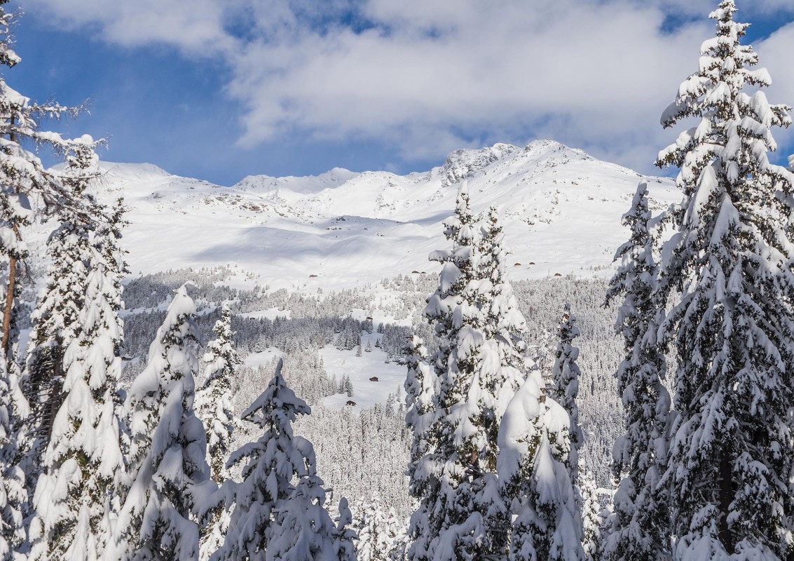
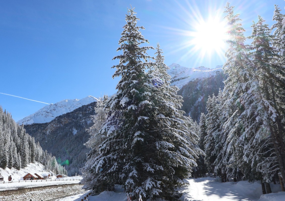
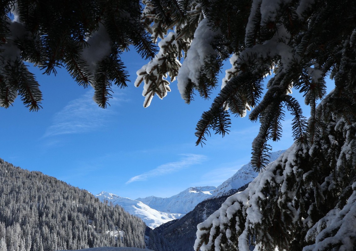
In questo periodo dell’anno la neve diventa protagonista assoluta e avvolge il paese in un abbraccio magico.
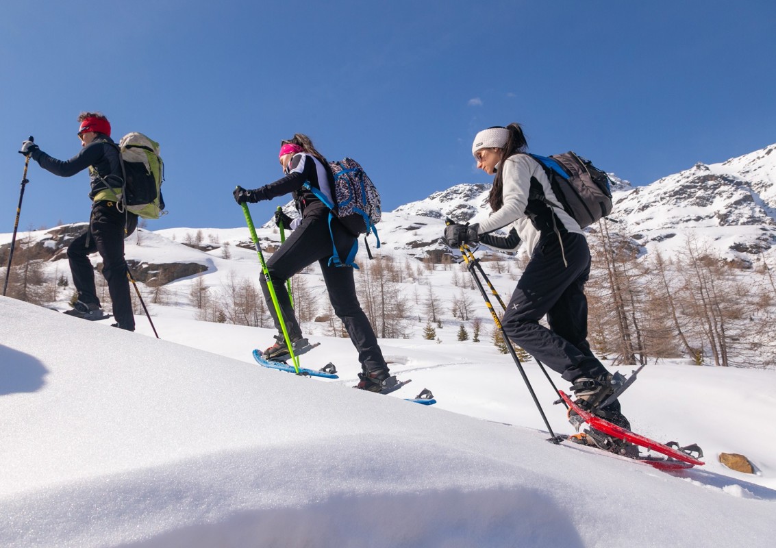
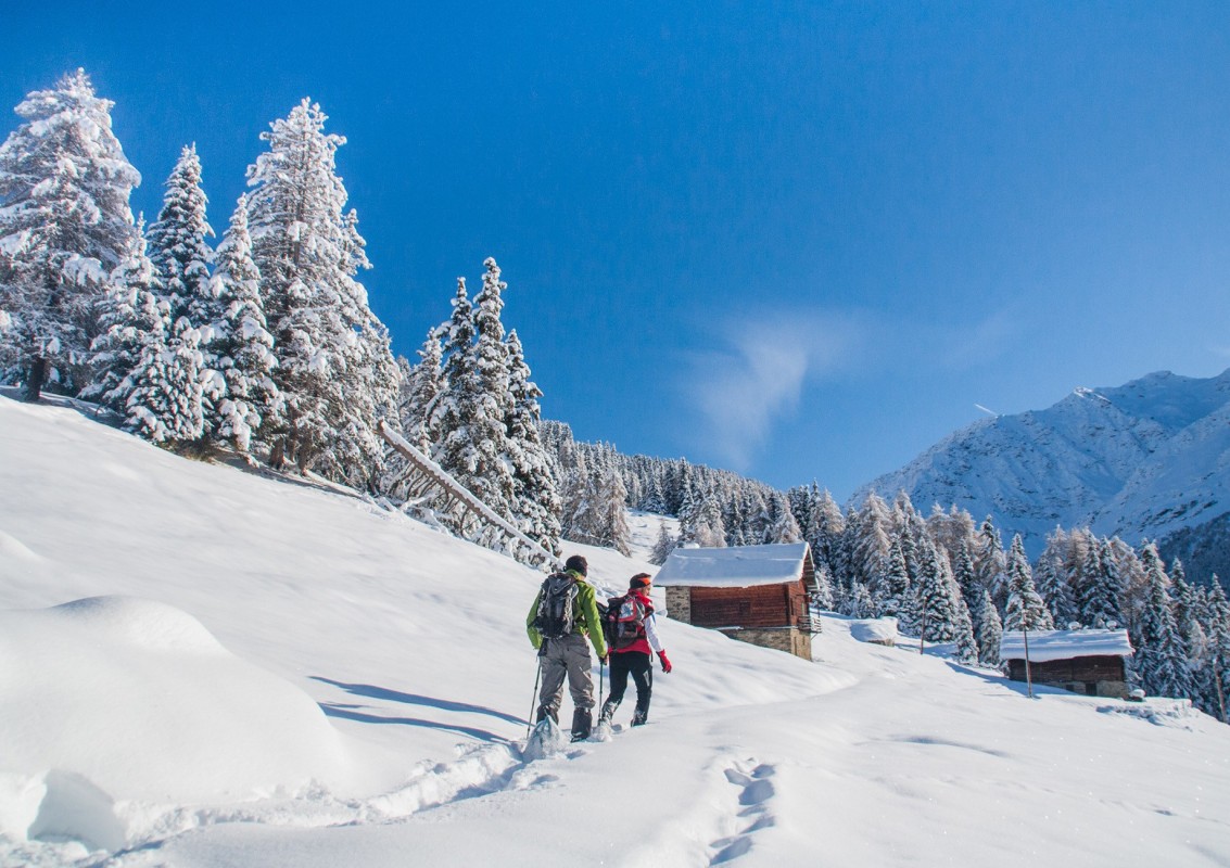
Le escursioni a piedi o con le ciaspole permettono a tutti, grandi e piccini, di scoprire gli angoli più nascosti e segreti della nostra valle. Le escursioni notturne, timidamente illuminate dalla luna, offrono a tutti la possibilità di emozionarsi di fronte al grande mistero della natura in compagnia delle nostre guide alpine.
Loc. La Fonte (1738 m) | Loc. La Fonte (1738 m)
Flat itinerary that, at S. Caterina Valfurva, allows you to take a simple but relaxing excursion immersed in the nature of Stelvio National Park. Starting from the La Fonte center, you follow the Valtellina cross-country ski trail entering the woods and meadows of Nassegno heading towards the Valle dei Forni.
 Read less


Santa Caterina Valfurva (1738 m) | Loc. Plaghera (2000 m)
From the La Fonte center, continue on the left side of the trail, thus climbing the Cevedale trail for a few meters. The path continues into the woods, gently ascending for 3 km until reaching the Plaghera locality. Here you find yourself entirely immersed in the woods until you reach the junction that leads to Rifugio Paradiso and Rifugio 2000, where it is possible to stop for a break. You can return to town on foot, following the same route, or by the Paradiso chairlift.
Read less
Santa Caterina Valfurva (1738 m) | Rifugio Forni (2178 m)
From the village square, take the summer road to the Forni hut. Initially 1.5 km of valley floor are covered and then in the locality of Nassegno climb toward the Miravalle huts. A discreet climb leads to the closed Stella Alpina refreshment point where from here you can see the Forni refuge in the distance. 800 m of gentle ascent and you reach the sight of the Forni refuge with a view of the glacier of the same name. From mid-March the refuge is open as both a bar-restaurant and an overnight stay.
Read less
Santa Caterina Valfurva (1738 m) | Loc. Tov (1900 m)
Starting from the village square towards Bormio, after 100 meters turn right, a sign indicates the walk of the Chapels, the path gently ascends until it meets a small votive chapel on a hairpin bend. A short climb first leads to the Sell huts and then to the Tov huts (mt.1,876) where you can admire an old hand-carved crucifix. From here you can see old huts, Pizzo Tresero and the opposite slope with the related ski lifts and the prestigious ski run '"Deborah Compagnoni'". The path continues to the right and after a flat stretch descends back towards the village entering the woods and bringing us right back to the square of S. Caterina. It is advisable to be careful on the descent as there are some short stretches that could be icy.
Read less
Santa Caterina Valfurva (1738 m) | Sunny Valley (2800 m)
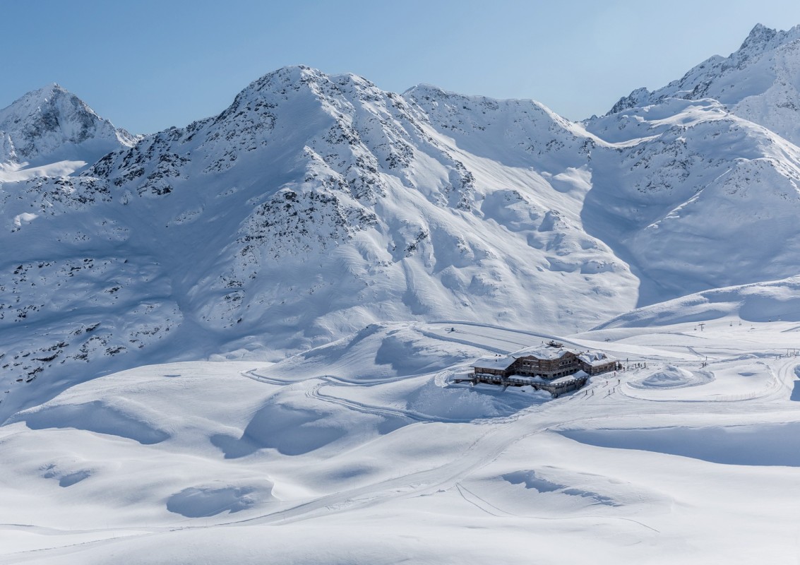
Raggiungere la Cresta Sobretta con la cabinovia di Santa Caterina Valfurva e scendere verso la Valle dell'Alpe. Imboccare il sentiero battuto e segnalato che si trova accanto al Rifugio Sunny Valley. Da questo punto è possibile ammirare, quasi toccare, le cime innevate dei monti Tresero, Cevedale e Gran Zebrù. Il Rifugio offre spuntini o tipici pranzi valtellinesi e una mostra fotografica permanente sulla Grande Guerra combattuta in queste montagne. Ritornare a valle in cabinovia (ultima discesa ore 16.30), ammirando la vallata che si estende da Santa Caterina a Bormio.
Read less
Santa Caterina Valfurva (1738 m) | Sic di sotto (1805 m)
Per quasi un chilometro, la passeggiata ripercorre il "Sentiero delle Cappellette" fino all'altezza del tornante. Da qui si prosegue dritti lasciando sulla destra la graziosa cappella. Il percorso scende su sentiero tra la pineta. Attenzione ai tratti ghiacciati. Il sentiero lascia il posto a una strada in piano che costeggia le Baite di Mocc e Pagania. La strada prende a salire raggiungendo Sic di Sotto. Percorso esposto a sud, particolarmente indicato in giornate fredde ma ben soleggiate.
Read less
Santa Caterina Valfurva (1738 m) | Loc. Ables (2233 m)
The trail climbs immediately after leaving the village square on the right side of the information office. The trail retraces an old mule track used by the Alpine troops during World War I '15'18. In a short time one finds oneself observing the center of Santa Caterina from above. After passing loc. Speluga, at the crossroads, continue to the right reaching loc. Linanza and loc. Ceisa. Pass the intersection and continue to the left. Gradually uphill, you reach loc. Bacero, Monich and Ables basso. With a last uphill tear, you reach loc. Ables. Beautiful view of the Santa Caterina ski area and the Sobretta and Cevedale mountain range.
Read less
Loc. Plaghera (1920 m) | Loc. Ponte delle Vacche (2050 m)
Il sentiero "Ponte delle Vacche" è stato pensato come proseguimento del sentiero delle Sorgenti. È quindi possibile partire da S. Caterina lungo il sentiero delle Sorgenti e poco sotto la località Plaghera proseguire a sinistra verso la strada del Passo Gavia. Si seguono le indicazioni per Ponte delle Vacche - area picnic cartelli in legno (sentieri estivi) e cartelli rosa specifici per le ciaspolate. Piacevole passeggiata tra boschi e radure soleggiate. Rientro sullo stesso percorso. Possibilità di proseguire sulla strada del Passo Gavia a seconda delle condizioni meteo e valanghive da verificare prima della partenza.
Read less
 Contacts