
 Webcam
 Search in the site
Hikes in Forny Valley
Glacier and high altitude

Glacier and high altitude

Itinerari d'alta quota nella Valle dei Forni.
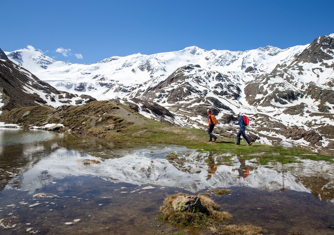
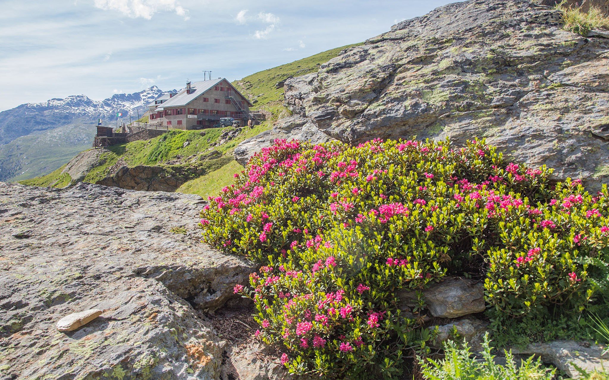
From the Ghiacciaio dei Forni Hotel take bridleway S530 which passes close to a small artificial lake down to which the Forni Glacier flowed a little more than a century ago. The road climbs, carved into the slope, leaving the track to the Malga dei Forni on the left. After some bends the cart trail rounds a rocky outcrop and comes to the Branca Refuge 2493 m, where you can enjoy magnificent views over the glaciers and peaks of the area, particularly Monte San Giacomo, with its numerous wartime relics, and over the Glaciological Trail. From the refuge descend to the Lake of Rosole, a typical example of a body of water created by the barrier formed by the righthand moraine of the Forni glacier, then continue along path S524 to return to the Forni Refuge.
 Read less


The route takes place along the Cedec Valley. From the Forni Glacier Refuge (2178 m) where path 528 leads to the Cedec Valley Barracks up to the Rio Grande junction, then continuing on traces to the North Zebrù Pass (3001 m). From here, descend along path 529 towards the Pizzini Refuge (2700 m) and then back to the Forni Glacier Refuge via path no. 528.
Read less
 Contacts