Webcam
 Search in the site
Hikes in Santa Caterina
Trails from the village

Trails from the village

Sentieri e trekking con partenza da Santa Caterina Valfurva.
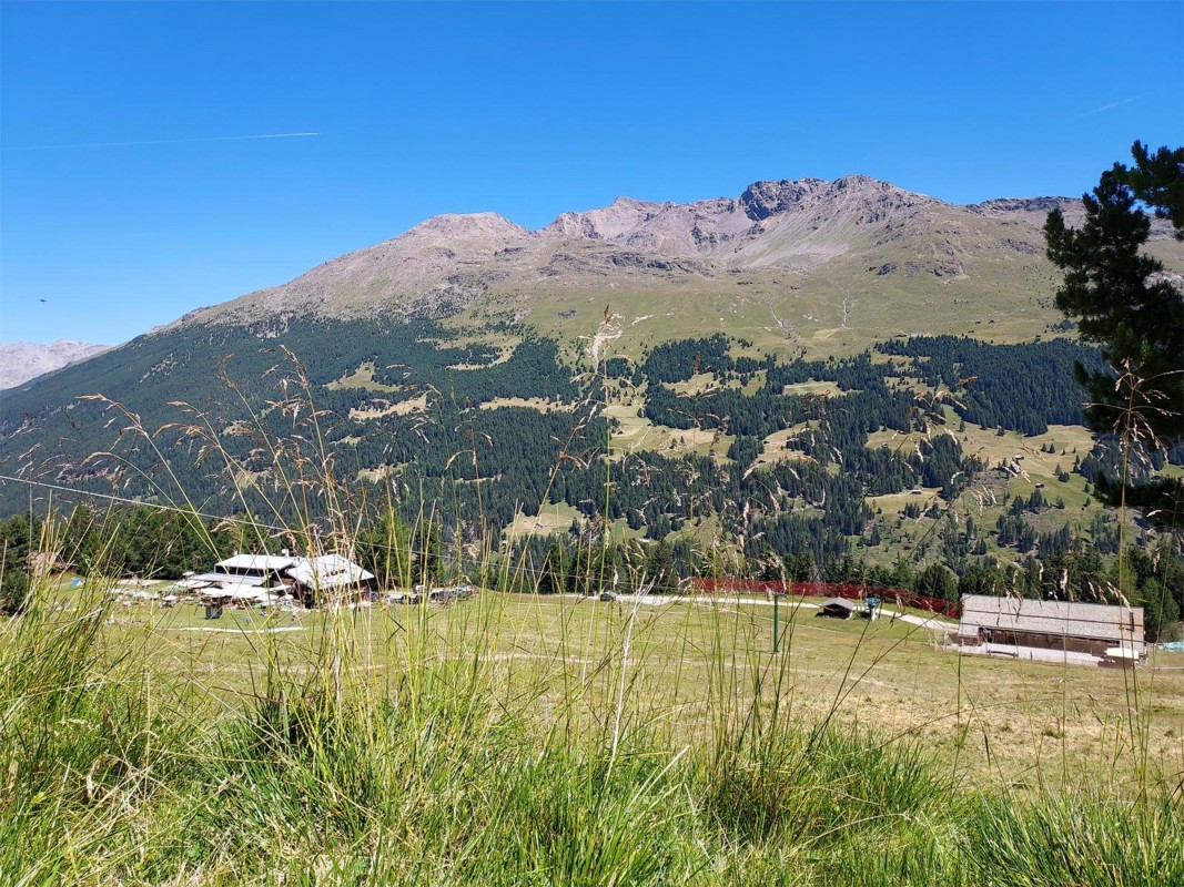
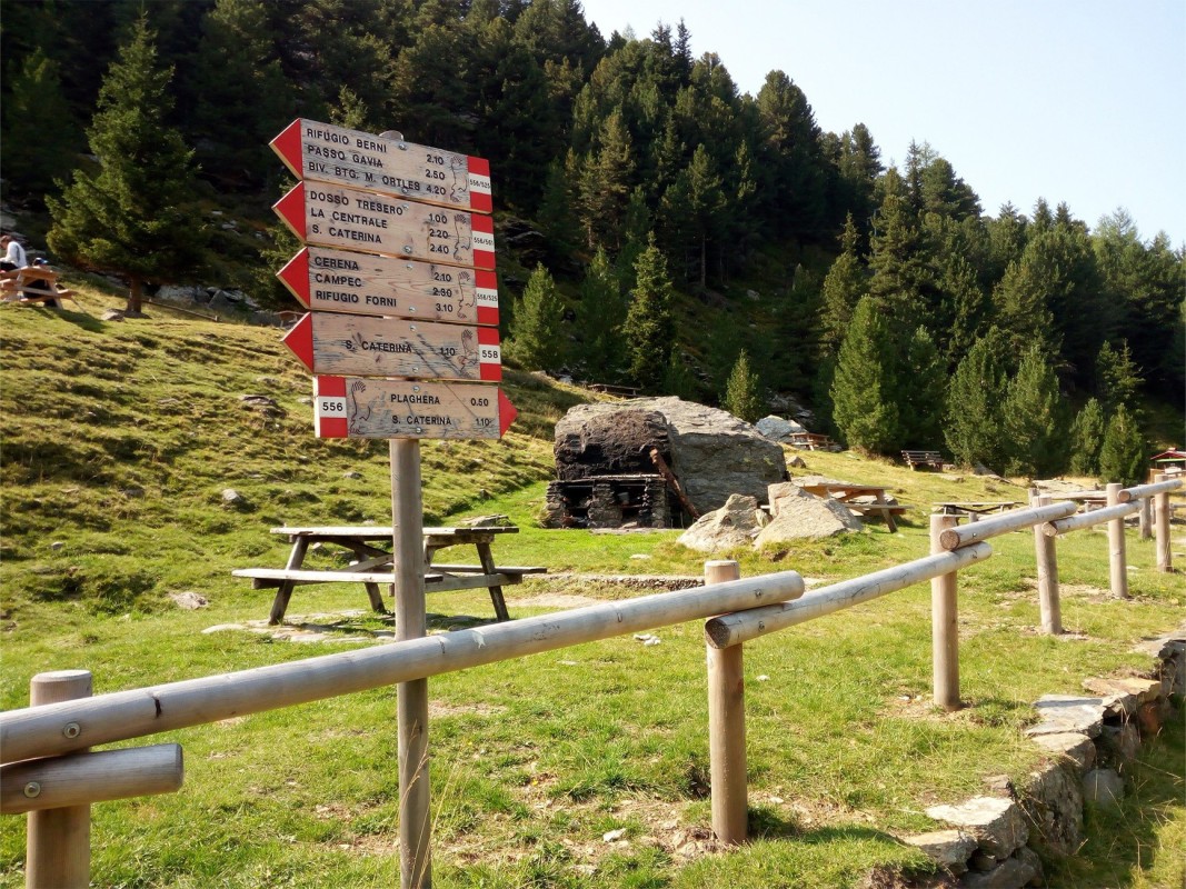
A walk of about an hour starting from Santa Caterina. On the road to the Gavia Pass, at the second hairpin bend, follow the signs for the "Sentiero Le Sorgenti", which winds through a shady wooded area dotted with streams until it reaches the lush green plain of Plaghera (which in winter is home to ski slopes and a small ski school). In summer, there are a few bars and refreshment points here, and you can continue the walk towards Sclaneira - Sobretta. The village can also be reached by car along the Gavia Pass road in about 15 minutes.
 Read less

A walk of about an hour starting from Santa Caterina. On the road to the Gavia Pass, at the second hairpin bend, follow the signs for the "Sentiero Le Sorgenti", which winds through a shady wooded area dotted with streams until it reaches the lush green plain of Plaghera (which in winter is home to ski slopes and a small ski school). In summer, there are a few bars and refreshment points here, and you can continue the walk towards Sclaneira - Sobretta. The village can also be reached by car along the Gavia Pass road in about 15 minutes.
Read less
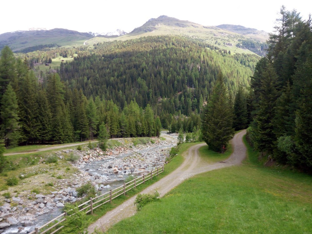
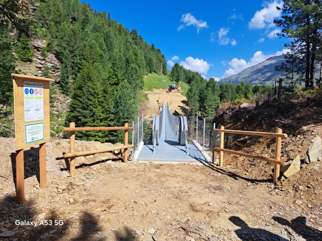
From the Central locality of Santa Caterina, in the Magliaga area, begin the ascent on trail S558, which runs alongside the Gavia river, reaching the Ponte delle Vacche, so called because this area is rich in pastures where herds graze during the summer. From here, a path allows you to reach the Gavia Pass. The walk, however, continues after crossing the Ponte delle Vacche. A picnic area allows for a break.
Read less

From the centre of Santa Caterina, near the tourist office, take path S571.1 steeply uphill through the forest until you reach the cart track from Tovo. Take a right, pass through the Valle dell'Ables and come to Nanza and Ceisa di Sopra. You climb gradually up to Monich. After some 50 more metres of steep climbing the trail flattens out to reach the mountain huts at Ables, with spectacular panoramas of the valley and surrounding mountains, where you can stop and rest. The descent then begins: at I Marz continue straight on along path S573 to Rossaniga, Gemel, and Blotana and, finally, the village of Santa Caterina Valfurva.
Read less
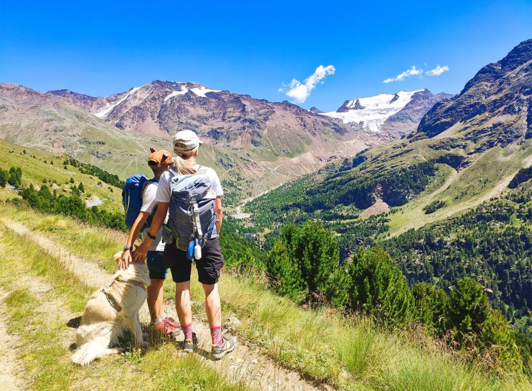
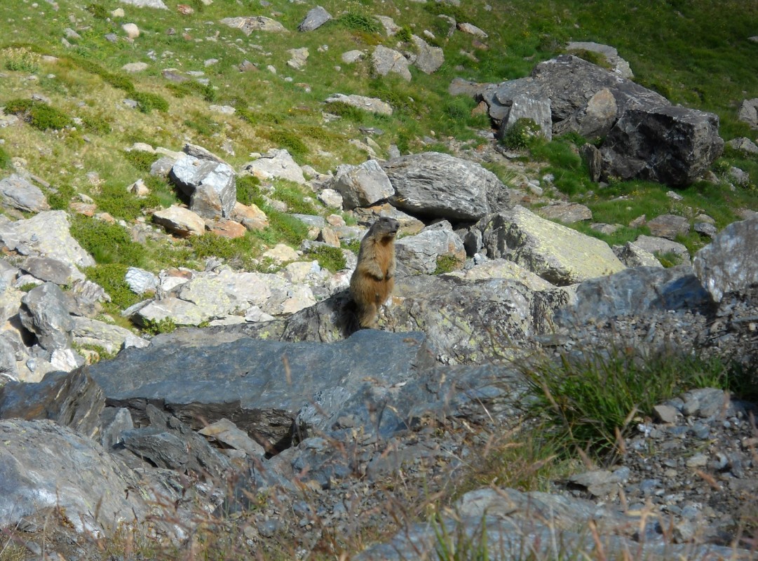
The Pian delle Marmotte trail is a loop hike that starts in Santa Caterina Valfurva and offers an unforgettable nature and scenic experience in the heart of the Stelvio National Park.
After a steady climb through the Sassa Bianca area, you will reach a vast plateau at 2360 meters above sea level. Here, you will have the chance to admire a spectacular view of the Sobretta and Gavia Groups, as well as encounter numerous marmots, which give the area its name. The return trip takes you along a path back to the valley, skirting the Gavia River to return to the starting point.
Read less
 Contacts