Webcam
 Search in the site
Hikes on the Sobretta side
High-altitude trekking

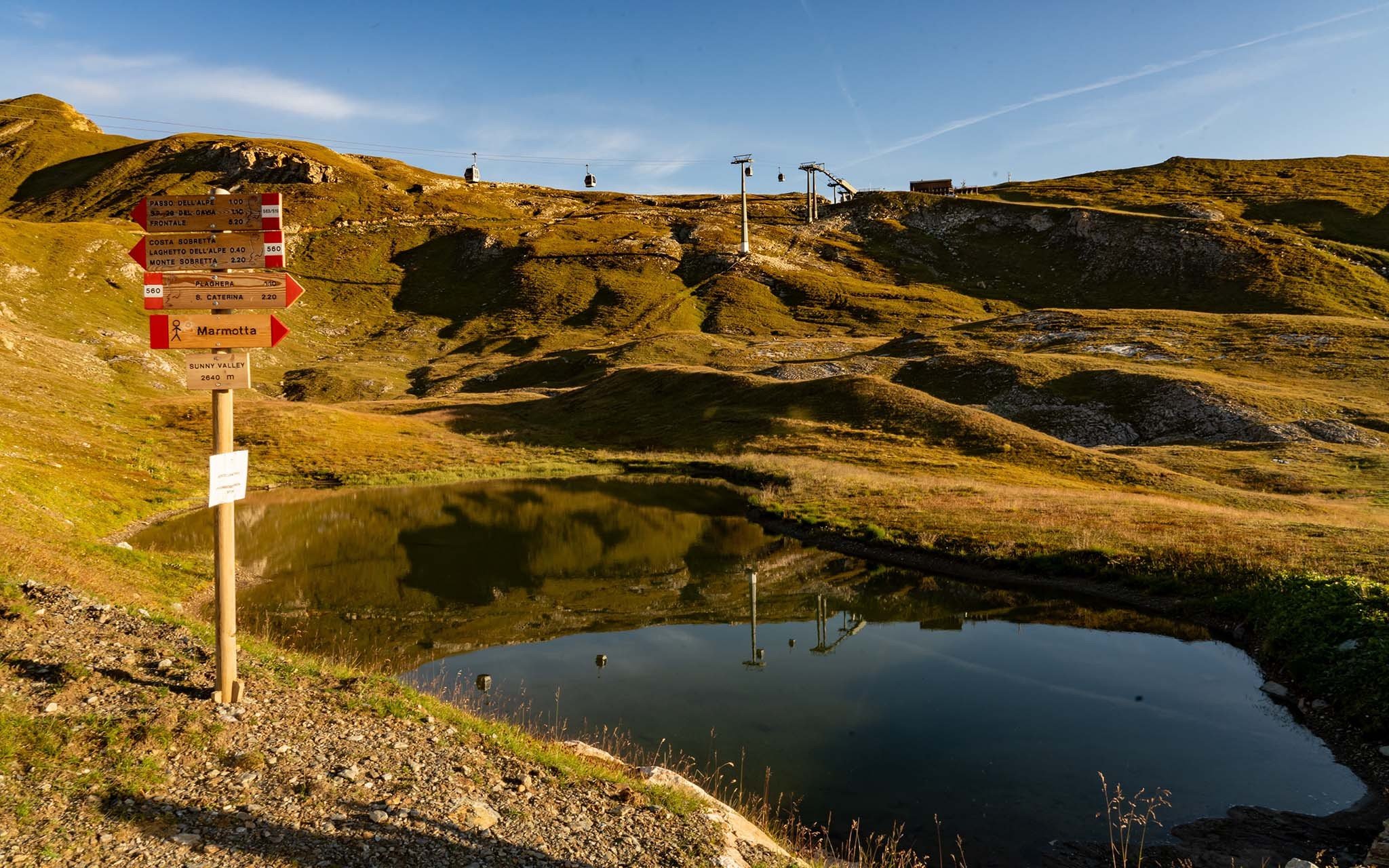
High-altitude trekking

Walks in Santa Caterina Valfurva have something for everyone: parents, children, friends, sports enthusiasts and athletes.
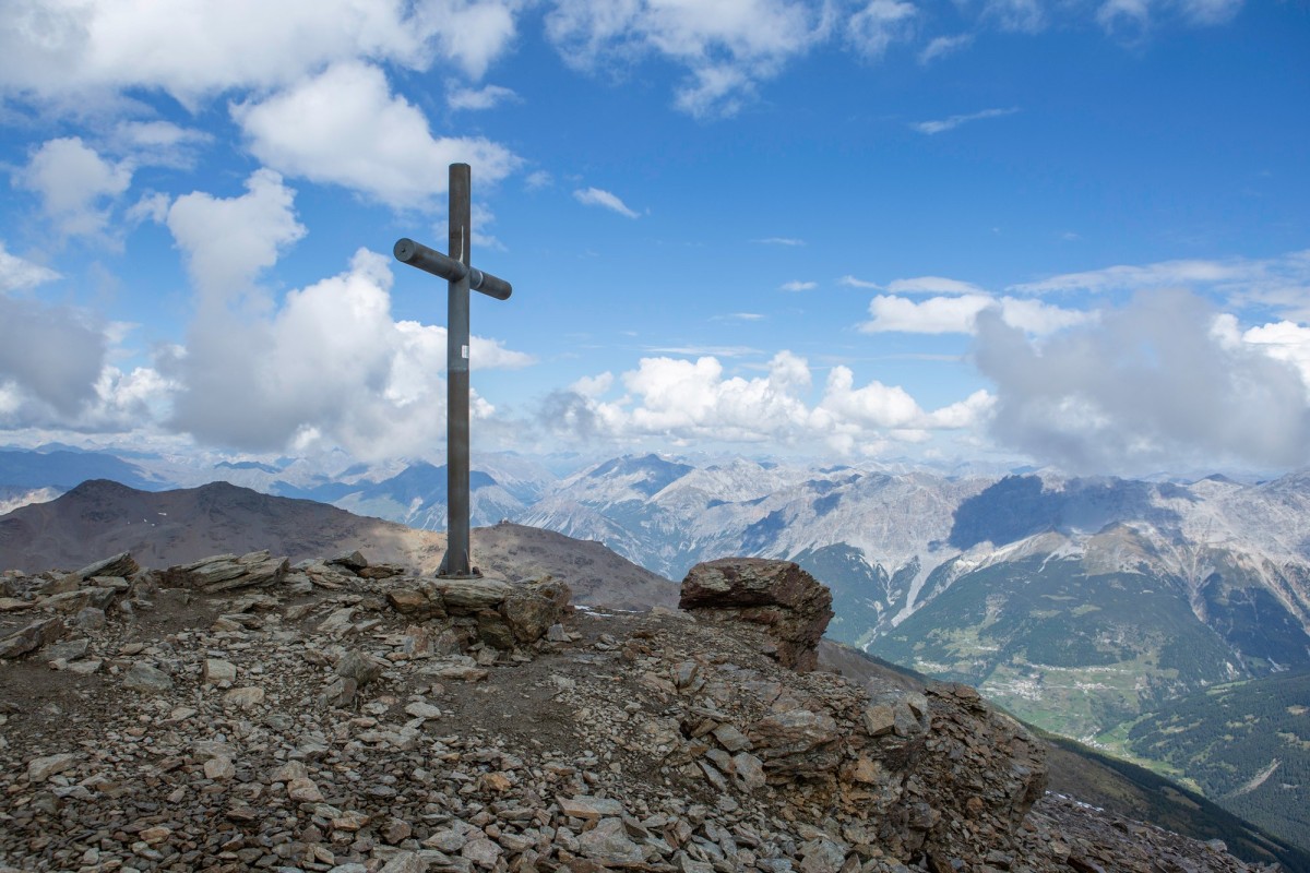
The trail starts from the Sunny Valley refuge and leads to the summit of Monte Sobretta, offering a breathtaking trekking experience in the Stelvio National Park. Starting from the refuge at 2,700 meters, the trail winds through alpine meadows and scree slopes, climbing to the summit of Monte Sobretta at 3,296 meters. Here, you’ll find an imposing tubular cross erected in 1968 and the Rosa dei Monti (mountain rose), which offers a 360-degree view of the peaks of the Ortles-Cevedale, extending your gaze toward the Bernina Range and all the way to the Dolomites.
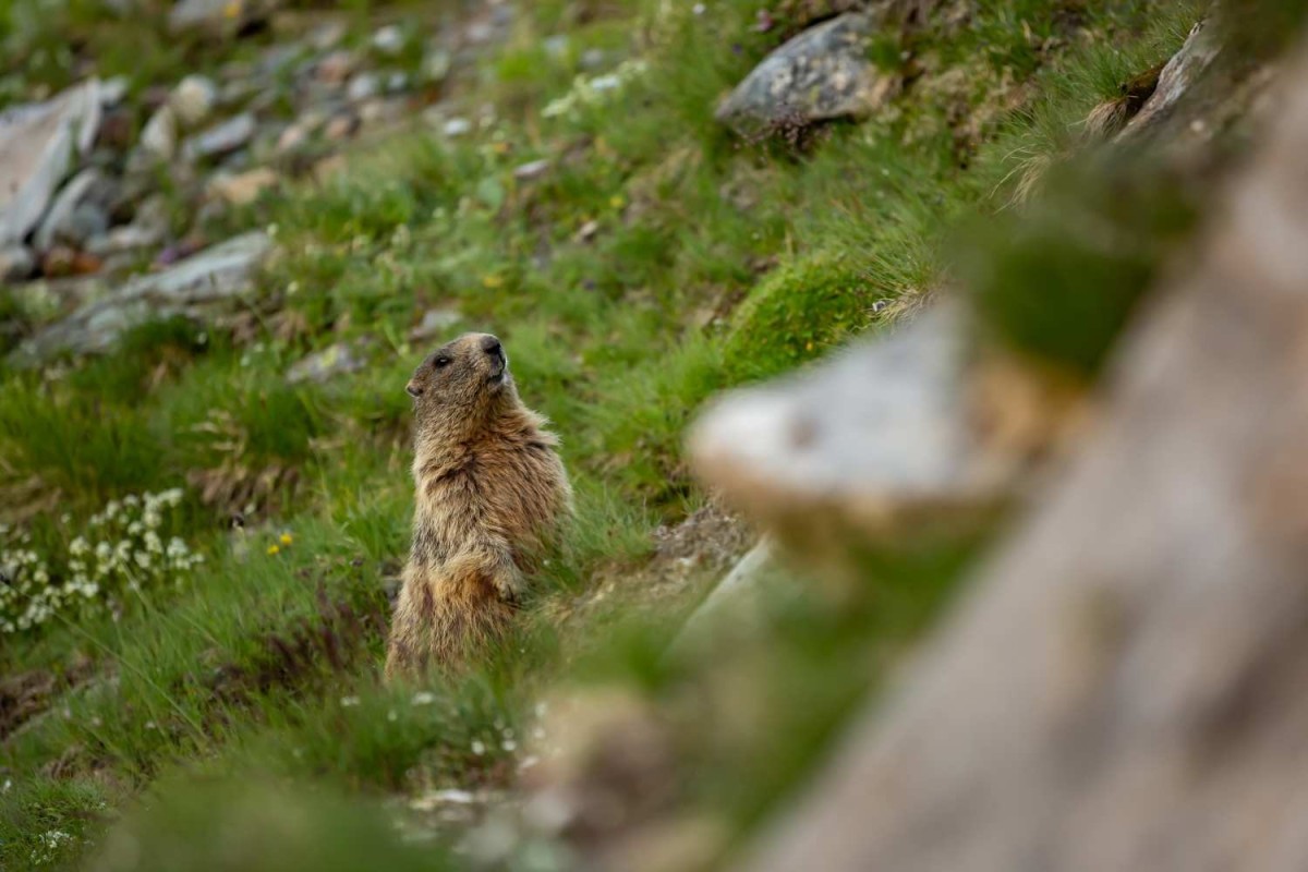
Along the way, you can spot wild animals (chamois, marmots, bearded vultures) and enjoy the peace and tranquility of nature. The return follows the same route to the Sunny Valley Refuge.
 Read less


A medium-difficulty trekking trail, the Cresta Sobretta – Sunny Valley itinerary or vice versa requires adequate sports equipment such as specific trekking shoes and windproof jackets to best enjoy the view at the highest point reached by the cable car at 2,860 m. We recommend starting your hike right here and then enjoying lunch at the magnificent Sunny Valley restaurant and a sunny, peaceful afternoon on the refuge’s solarium.
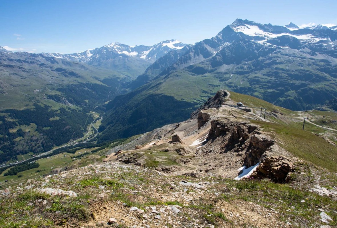
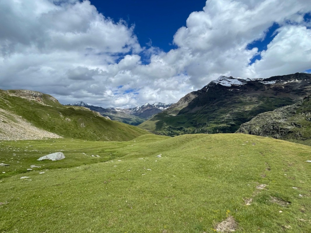
Using the cable car stop on the crest, you immediately reach the first panoramic point near the former Sobretta refuge, where you can admire the vastness of the Ortles-Cevedale and Adamello mountain ranges and a view of the valley floor with the village of Santa Caterina. From here the hike winds along the ridge (path S563) and then descends towards the basin with a beautiful glacial lake until reaching the Sunny Valley Refuge (S562 and S560.1) in about an hour’s walk.
Read less
Starting from the Sunny Valley refuge, you will immediately encounter the mule track hand-built by the soldiers (S564) and the rocky trenches used as shelter and refuge during the long war season: a sight to immortalize in a photograph that will remember the courage and suffering experienced by so many young people in the name of freedom and their homeland.
The trek continues towards Passo dell’Alpe – Mot De Li Leur (S519) and goes up the Piano del Termine , full of hairpin bends with a maximum gradient of 449 metres. The circular route starting and finishing at Sunny Valley is challenging and the average travel time is around 3 hours.
Read less
The trail starts from the Sunny Valley refuge and leads to the summit of Monte Sobretta, offering a breathtaking trekking experience in the Stelvio National Park. Starting from the refuge at 2,700 meters, the trail winds through alpine meadows and scree slopes, climbing to the summit of Monte Sobretta at 3,296 meters. Here, you’ll find an imposing tubular cross erected in 1968 and the Rosa dei Monti (mountain rose), which offers a 360-degree view of the peaks of the Ortles-Cevedale, extending your gaze toward the Bernina Range and all the way to the Dolomites.
Along the way, you can spot wild animals (chamois, marmots, bearded vultures) and enjoy the peace and tranquility of nature. The return follows the same route to the Sunny Valley Refuge.
Read less
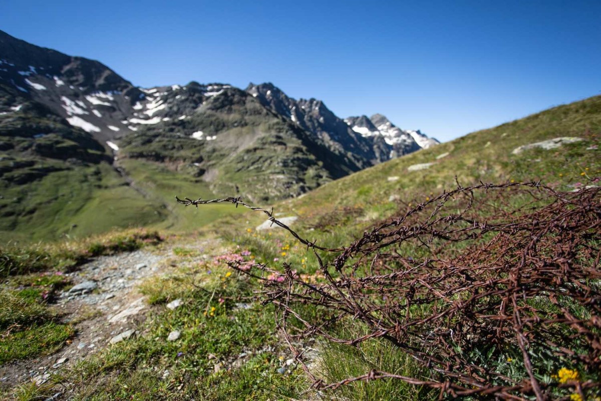
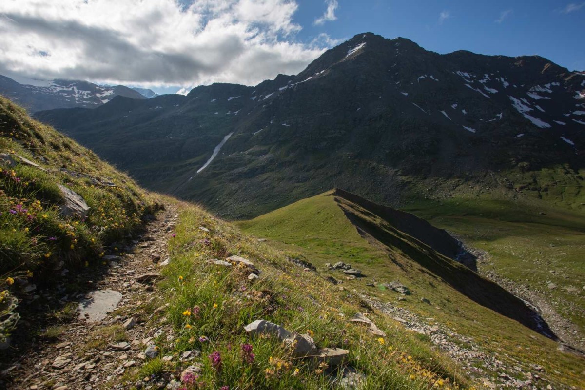
Starting from the Sunny Valley refuge, you will immediately encounter the mule track hand-built by the soldiers (S564) and the rocky trenches used as shelter and refuge during the long war season: a sight to immortalize in a photograph that will remember the courage and suffering experienced by so many young people in the name of freedom and their homeland.
The trek continues towards Passo dell’Alpe – Mot De Li Leur (S519) and goes up the Piano del Termine , full of hairpin bends with a maximum gradient of 449 metres. The circular route starting and finishing at Sunny Valley is challenging and the average travel time is around 3 hours.
Read less
Starting from the Sunny Valley refuge, you will immediately encounter the mule track hand-built by the soldiers (S564) and the rocky trenches used as shelter and refuge during the long war season: a sight to immortalize in a photograph that will remember the courage and suffering experienced by so many young people in the name of freedom and their homeland.
The trek continues towards Passo dell’Alpe – Mot De Li Leur (S519) and goes up the Piano del Termine , full of hairpin bends with a maximum gradient of 449 metres. The circular route starting and finishing at Sunny Valley is challenging and the average travel time is around 3 hours.
Read less
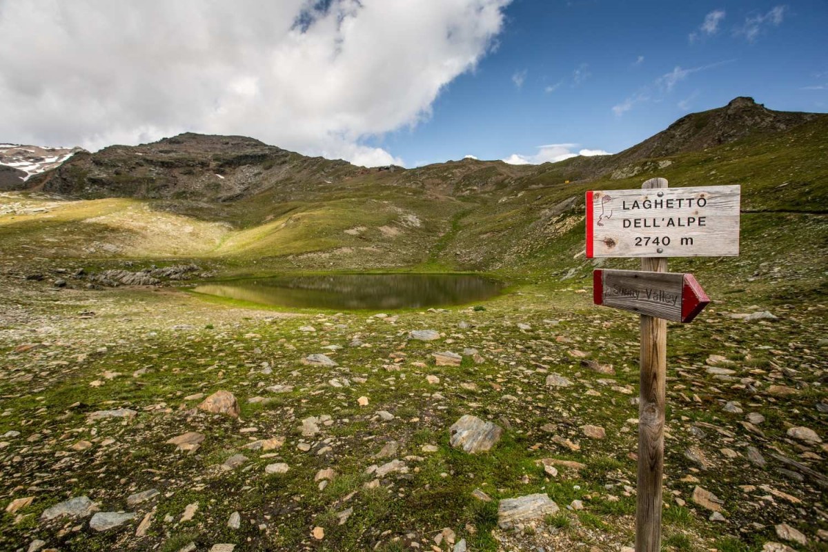
Starting from the Sunny Valley refuge, you will immediately encounter the mule track hand-built by the soldiers (S564) and the rocky trenches used as shelter and refuge during the long war season: a sight to immortalize in a photograph that will remember the courage and suffering experienced by so many young people in the name of freedom and their homeland.
The trek continues towards Passo dell’Alpe – Mot De Li Leur (S519) and goes up the Piano del Termine , full of hairpin bends with a maximum gradient of 449 metres. The circular route starting and finishing at Sunny Valley is challenging and the average travel time is around 3 hours.
Read less
Starting from the Sunny Valley refuge, you will immediately encounter the mule track hand-built by the soldiers (S564) and the rocky trenches used as shelter and refuge during the long war season: a sight to immortalize in a photograph that will remember the courage and suffering experienced by so many young people in the name of freedom and their homeland.
The trek continues towards Passo dell’Alpe – Mot De Li Leur (S519) and goes up the Piano del Termine , full of hairpin bends with a maximum gradient of 449 metres. The circular route starting and finishing at Sunny Valley is challenging and the average travel time is around 3 hours.
Read less
 Contacts